
Page 18 - 2024 - 51.2
P. 18
Navigating the Unlike using a GPS rover or total station and the one point per
button click method, scanners enable surveyors to capture millions
Automated Terrain: of points in seconds, even in challenging terrain or inaccessible
locations. The ability to collect comprehensive data with minimal
The Evolution of the manual intervention has not only expedited project timelines but
has also improved safety by reducing the need for personnel to
Land Surveying and work in hazardous environments. Furthermore, the detailed 3D
representations produced by terrestrial laser scanners empower
Geospatial Industry engineers, architects, and urban planners to make more informed
decisions, leading to optimized designs, enhanced construction
processes, and better-informed land management strategies.
By: Michael Detwiler, PLS, CP
Advancements in data processing software have automated many
aspects of data analysis and interpretation, which makes dealing
with millions of points a little less daunting. With sophisticated
algorithms and machine learning techniques, survey data can now
be processed rapidly and transformed into suitable deliverables.
This shift from manual data processing to automated workflows
has not only accelerated project timelines but has also empowered
surveyors to extract valuable intelligence from complex datasets
with ease. It’s a bit of the shoot first and ask question later!
The integration of 3D models has sparked a transformative wave
within the construction industry and surveyors have directly been
affected by this. Point staking has been drastically reduced with
the use of 3D models, where contractors have quickly adopted the
use of these models in the various phases of grading activities.
Some have even begun to install underground utilities based on
these models. A new role of the “model builder” has been created,
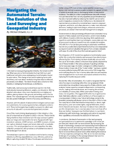
In the land surveying and geospatial industry, the terrain is shift- someone skilled at taking PDF plan sets and/or CAD design files
ing. What was once a field dominated by long field hours and and modifying these for use in survey data collectors and machine
traditional methods is now undergoing a transformation fueled control equipment for much more automated controls in the field,
by automation. This change is less about replacing hands with replacing the traditional grade setter.
machines; and more about revolutionizing how data is collected,
processed, and utilized. The trend of mass data collection in this Amidst the influx of automation, it’s crucial to recognize that the
industry is reshaping the landscape, quite literally. role of surveyors is evolving rather than being replaced. While
automation has streamlined many aspects of data collection and
Traditionally, land surveying involved hours spent in the field, analysis, human expertise remains indispensable in interpreting
meticulously measuring distances, angles, and elevations. Writing results, making informed decisions, and ensuring the accuracy
detailed notes about monument characteristics or staking out and reliability of survey data. While automation is being used
utilities, placing stakes in the ground, and writing cut/fills on the more, it is not perfect. The biggest shift is the hours spent on the
stakes. This manual approach not only consumed significant time task. Field data collection used to be the bulk of hours spent on
but also posed challenges in terms of accuracy and efficiency. a survey project. Unless a new, future technology comes to be,
boundary surveying will always remain in the realm of the human.
However, with the advent of advanced technologies such as scan- Too many factors exist that must be interpreted, i.e. deeds, legal
ners and drones, the surveying process has undergone a seismic descriptions, junior and senior rights, original field notes, monu-
shift. These technologies have enabled surveyors to collect vast ment character and location. But now the data is mass collected
amounts of data with unprecedented speed and precision. and the interpretation hours now take place more so in than office
than ever before. Surveyors now find themselves in a symbiotic
One of the most striking developments in this industry is the relationship with technology, leveraging automation to augment
rise of unmanned aerial systems (UAS) or drones. These nimble their capabilities and elevate the standard of their work.
flying machines have revolutionized the way surveyors gather
data over large and inaccessible terrains. Equipped with high- In conclusion, the trend of automation in the land surveying
resolution cameras, LiDAR sensors, and GNSS receivers, drones and geospatial industry represents a paradigm shift in how we
can capture detailed images and terrain data with remarkable perceive and interact with our environment. By harnessing the
accuracy. This aerial perspective not only expedites the data power of technology, surveyors are transcending the limitations of
collection process but also provides a comprehensive view of traditional methods and charting new frontiers in data collection
the landscape from above. and analysis. As we navigate this automated terrain, it’s impera-
tive to embrace these advancements while retaining the essence
Terrestrial laser scanners have revolutionized the land surveying of human expertise and ingenuity. After all, in the ever-evolving
landscape of surveying, it’s the synergy between man and ma-
industry by offering unparalleled accuracy, efficiency, and versa- chine that truly charts the course forward.
tility in capturing detailed 3D data of landscapes and structures.
16 The Nevada Traverse Vol.51, No.2, 2024