
Page 17 - 2024 - 51.1
P. 17
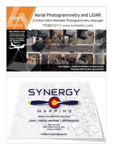
Aerial Photogrammetry and LiDAR


                                    Contact Mitch Bartorelli, Photogrammetry Manager


                                               775.827.6111| www.LumosInc.com


           High definition aerial
           mapping taken with
           a fixed wing aircraft,
           using the latest aerial
            sensors, to capture
           2cm ground sample
                distance.


                                                                City of Sparks | Sewer Rehabilitation Greenbrae Drive
                                                                              Flown at 1,600 feet above ground level


                                          DESIGN SCALE MAPPING SOLUTIONS

                                LIDAR │ DIGITAL MAPPING │ ORTHOPHOTOS

                                                     (303)-663-4483

                                                11027 S Pikes Peak Dr. #203
                                                    Parker, CO 80138


                                             info@synergymapping.com