
Page 28 - 2024 - 51.1
P. 28
Head in the Point
Clouds: A Guide to
Choosing the Right
LiDAR Sensor for UAS
Aerial Mapping
By: Michael Detwiler, PLS, CP
Introduction
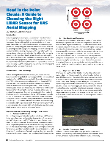
Aerial mapping has undergone a revolutionary transformation 2. Point Density and Resolution
in recent years, thanks laregly to the miniaturization of sensors. Point density and resolution refer to the number of laser pulses
Instrument that would only fit in an airplane in the past, now emitted per square meter and the resulting level of detail in the
meet the smaller payload limits of a drone. LiDAR sensors play a captured data. Higher point density and resolution contribute to
pivotal role in capturing precise, three-dimensional data from the more detailed point clouds, but not necessarily higher accuracy or
air, enabling accurate topographic mapping, terrain modeling, and precision. Single beam lasers are more precise but may capture
environmental monitoring. However, with a myriad of LiDAR sen- less density. Multi-beam or multi-channel sensors split the single
sors available in the market, selecting the right one for your aerial pulse, resulting in higher point density, but sacrifice precision.
mapping project can be a daunting task. As with any sales pitch, Multi-beam sensors tend to have more noise in the point cloud,
often times the finer details are hidden or misunderstood. And I’ve compared to single beam. For forestry projects, opting for a LiDAR
seen in this emerging market a lot of misinformation and lack of sensor with higher point density on trees themselves, becomes
transparencey. In this article, I’ll explore the key factors to consider imperative. However, for transportation projects, sacrificing point
when choosing a LiDAR sensor, ensuring optimal performance and density for better precision and accuracy on road surfaces, may be
data quality for your specific project. better suited.
Understanding LiDAR Technology 3. Range and Field of View
The range of a LiDAR sensor dictates how far it can effectively
Before delving into the selection process, it’s crucial to have a capture data from the sensor platform. Additionally, the field of
basic understanding of LiDAR technology. LiDAR is not new. LiDAR view (FOV) determines the extent of the area covered in a single
originates from NASA development with the Apollo missions in scan. Understanding the sensor’s range and FOV limitations can
the 1970’s. It became commercially available in the early 2000’s be critical for what is being mapped. Flying out of the sensors
and was quickly adopted in the aerial surveying and mapping optimal range may result in laser pulses not returning to the sen-
world as an alternative to photogrammetry. LiDAR works by sor. On a power line mapping project, this is problematic, since it
emitting laser pulses and measuring the time it takes for the laser requires fine detail on smaller objects such as poles, conductor
to return after reflecting off a surface. This data is then used to wires, and insulators. Conversely, longer ranges are beneficial for
create a highly detailed, three-dimensional point cloud model of large-scale mapping, since more acreage can be mapped in less
the terrain and/or surface objects. Aerial LiDAR systems typically time. A wider FOV enhances efficiency by reducing the number of
consist of three main components: the laser scanner, the Global required passes.
Navigation Satellite System (GNSS), and an Inertial Measurement
Unit (IMU). A LiDAR sensor is termed an “active” sensor. Meaning
it senses the light it generates itself. Whereas in photogrammetry,
a camera senses the ambient light reflected by the sun. Compara-
tively, a camera is considered a “passive” sensor.
Key Considerations for Choosing the Right LiDAR Sensor
1. Accuracy and Precision
One of the primary considerations when selecting a LiDAR sensor
is the level of accuracy and precision it can achieve. There are vari-
ous IMU’s, laser types, and GNSS chips that manufacturers inte-
grate into a functioning unit. The ways these components interact
as an integrated system directly effects the accuracy and proces-
sion of the data. Different projects may have varying requirements
for accuracy, and it’s crucial to match the sensor’s capabilities with 4. Scanning Patterns and Speed
the project’s specifications. Typically speaking, the more accurate Different LiDAR sensors employ varying scanning patterns and
and precise these components are, correlates to a higher price tag. speeds. Understanding the scanning patterns, such as linear, helical,
or flash, and their impact on data collection is vital. Additionally,
26 The Nevada Traverse Vol.51, No.1, 2024