Page 27 - NALS Traverse 50_2
P. 27

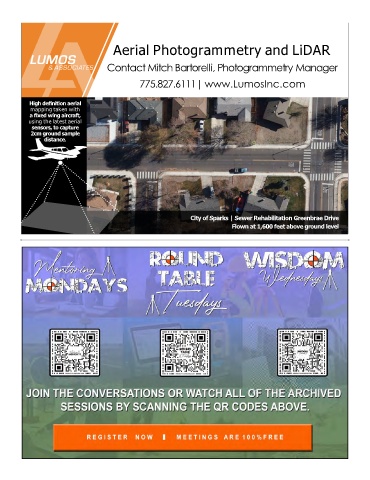
Aerial Photogrammetry and LiDAR


                                    Contact Mitch Bartorelli, Photogrammetry Manager


                                               775.827.6111| www.LumosInc.com


           High definition aerial
           mapping taken with
           a fixed wing aircraft,
           using the latest aerial
            sensors, to capture
           2cm ground sample
                distance.


                                                                City of Sparks | Sewer Rehabilitation Greenbrae Drive
                                                                              Flown at 1,600 feet above ground level
   22   23   24   25   26   27   28   29   30   31   32