
Page 33 - 2022- 49.3
P. 33
Lahontan Chapter Golf Tournament
By: Justin M. Moore, PLS
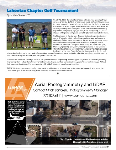
On July 15, 2022, the Lahontan Chapter celebrated our annual golf tour-
nament at Toiyabe Golf Club in Washoe Valley. 68 golfers (17 teams) made
their way around this beautiful course enjoying special challenges such as
the closest to the pin, longest drive, hole in one challenge and the tee box
accuracy challenge. Additional perks to our tournament included a swag
bag cooler full of goodies, logo golf balls, NALS baseball cap, cell phone
charger, raffle prizes, cash prizes, and a BBQ buffet to conclude the event.
Our big winners of the day were Odyssey Engineering, purchasing their
way to 1 place by utilizing all mulligans, putters’ tape, and on course
st
challenges. RCI secured their status as the worst golfers, or most honest,
and took home the last place trophy. In addition to our golf awards,
we also had numerous raffle prizes donated by the Lahontan Chapter,
Monson Engineering, and Dixon Golf. Congratulations to our winners!
The Lahontan Chapter’s annual golf tournament is the chapters largest
fund raiser of the year. Proceeds from the tournament go directly back
into our local and surveying community. Scholarships, memorials, youth outreach, continuing education workshops, monthly meeting
and other gatherings are all made possible by events such as this.
A very special “Thank You” must go out to all our sponsors: Monsen Engineering, Wood Rodgers, CFA, Lumos & Associates, Odyssey
Engineering, Diamondback Land Surveying, US Geomatics, Mapca, NV Blue, Mentoring Mondays and Wisdom Wednesdays. Without
their support and dedication this tournament would not be the success year after year that it is.
THANK YOU to each and every one of you that participated in this special event! Your participation and support is what keeps the
Lahontan Chapter of NALS the leading advocate of Land Surveyors in Northern Nevada.
Aerial Photogrammetry and LiDAR
Contact Mitch Bartorelli, Photogrammetry Manager
775.827.6111| www.LumosInc.com
High definition aerial
mapping taken with
a fixed wing aircraft,
using the latest aerial
sensors, to capture
2cm ground sample
distance.
City of Sparks | Sewer Rehabilitation Greenbrae Drive
Flown at 1,600 feet above ground level
The Nevada Traverse Vol.49, No.3, 2022 31