
Page 26 - 2023 - 50.1
P. 26
A Look At Fifty Years Of From humble beginnings the Nevada Association of Land
Surveyors has grown in fifty years into a dynamic, forward-
The Nevada Traverse thinking organization that the founders would surely be proud
of. The nine-page newsletter of 1974 has evolved over time,
and through an awesome progression of visionary editors,
By: Carl R. C.de Baca, PLS into a slick and glossy publication recognized nationally as one
of the best state magazines anywhere in the country. That is
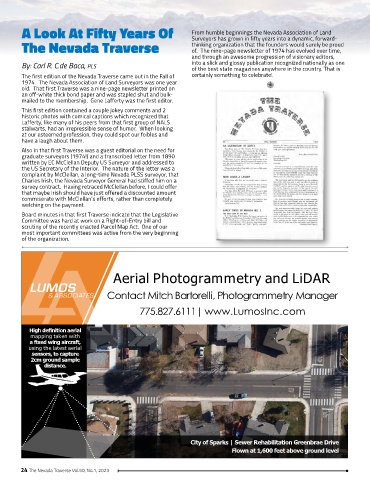
The first edition of the Nevada Traverse came out in the Fall of certainly something to celebrate!
1974. The Nevada Association of Land Surveyors was one year
old. That first Traverse was a nine-page newsletter printed on
an off-white thick bond paper and was stapled shut and bulk-
mailed to the membership. Gene Lafferty was the first editor.
This first edition contained a couple jokey comments and 2
historic photos with comical captions which recognized that
Lafferty, like many of his peers from that first group of NALS
stalwarts, had an irrepressible sense of humor. When looking
at our esteemed profession, they could spot our foibles and
have a laugh about them.
Also in that first Traverse was a guest editorial on the need for
graduate surveyors (1974!) and a transcribed letter from 1890
written by EC McClellan Deputy US Surveyor and addressed to
the US Secretary of the Interior. The nature of the letter was a
complaint by McClellan, a long-time Nevada PLSS surveyor, that
Charles Irish, the Nevada Surveyor General had stiffed him on a
survey contract. Having retraced McClellan before, I could offer
that maybe Irish should have just offered a discounted amount
commiserate with McClellan’s efforts, rather than completely
welching on the payment.
Board minutes in that first Traverse indicate that the Legislative
Committee was hard at work on a Right-of-Entry bill and
scrutiny of the recently enacted Parcel Map Act. One of our
most important committees was active from the very beginning
of the organization.
Aerial Photogrammetry and LiDAR
Contact Mitch Bartorelli, Photogrammetry Manager
775.827.6111| www.LumosInc.com
High definition aerial
mapping taken with
a fixed wing aircraft,
using the latest aerial
sensors, to capture
2cm ground sample
distance.
City of Sparks | Sewer Rehabilitation Greenbrae Drive
Flown at 1,600 feet above ground level
24 The Nevada Traverse Vol.50, No.1, 2023