
Page 20 - 2022- 49.3
P. 20
Digital Mapper -
Update to the Nevada GPS Network
By: Michael Detwiler, PLS
Background
Since 2018, the Utah Geospatial Resource Center (UGRC) has managed the Nevada GPS Network (NVGPS). Formerly named the
Northern Nevada Cooperative Real Time Network (NNCRTN) and run by Washoe County, the network in its current state is in desperate
need of an upgrade. The UGRC inherited some of the antiquities of how the network was originally set-up and its current hardware
infrastructure.
The NNCRTN was originally setup on the NAD83/94 (HARN) horizontal coordinate reference frame. The UGRS still runs the network
on this reference frame, which has long been surpassed by the NAD83/2011 update. The National Geodetic Survey currently supports
NAD83/2011 and considers this the current reference frame for tying to the National Spatial Reference System (NSRS).
Technical Difficulties
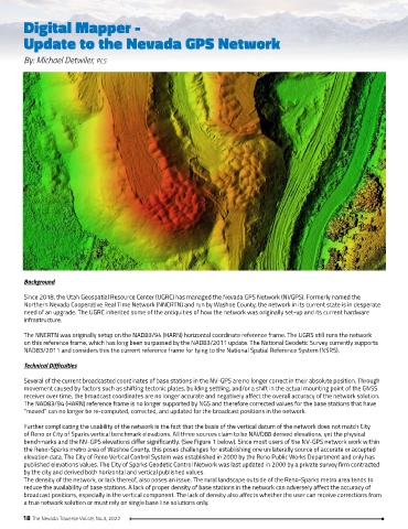
Several of the current broadcasted coordinates of base stations in the NV-GPS are no longer correct in their absolute position. Through
movement caused by factors such as shifting tectonic plates, building settling, and/or a shift in the actual mounting point of the GNSS
receiver over time, the broadcast coordinates are no longer accurate and negatively affect the overall accuracy of the network solution.
The NAD83/94 (HARN) reference frame is no longer supported by NGS and therefore corrected values for the base stations that have
“moved” can no longer be re-computed, corrected, and updated for the broadcast positions in the network.
Further complicating the usability of the network is the fact that the basis of the vertical datum of the network does not match City
of Reno or City of Sparks vertical benchmark elevations. All three sources claim to be NAVD88 derived elevations, yet the physical
benchmarks and the NV-GPS elevations differ significantly. (See Figure 1 below). Since most users of the NV-GPS network work within
the Reno-Sparks metro area of Washoe County, this poses challenges for establishing one unilaterally source of accurate or accepted
elevation data. The City of Reno Vertical Control System was established in 2000 by the Reno Public Works Department and only has
published elevations values. The City of Sparks Geodetic Control Network was last updated in 2000 by a private survey firm contracted
by the city and derived both horizontal and vertical published values.
The density of the network, or lack thereof, also poses an issue. The rural landscape outside of the Reno-Sparks metro area tends to
reduce the availability of base stations. A lack of proper density of base stations in the network can adversely affect the accuracy of
broadcast positions, especially in the vertical component. The lack of density also affects whether the user can receive corrections from
a true network solution or must rely on single base line solutions only.
18 The Nevada Traverse Vol.49, No.3, 2022