
Page 22 - 2022_49.2
P. 22
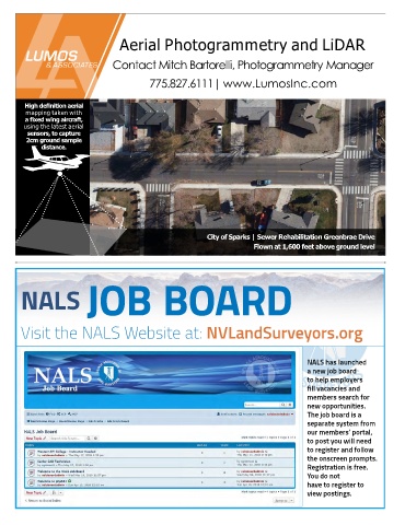
Aerial Photogrammetry and LiDAR


                                   Contact Mitch Bartorelli, Photogrammetry Manager


                                              775.827.6111| www.LumosInc.com


        High definition aerial
         mapping taken with
         a fixed wing aircraft,
        using the latest aerial
         sensors, to capture
         2cm ground sample
              distance.


                                                                City of Sparks | Sewer Rehabilitation Greenbrae Drive
                                                                              Flown at 1,600 feet above ground level


       NALS               JOB BOARD


       Visit the NALS Website at: NVLandSurveyors.org


                                                                                              NALS has launched
                                                                                              a new job board
                                                                                              to help employers
                                                                                              fill vacancies and
                                                                                              members search for
                                                                                              new opportunities.
                                                                                              The job board is a
                                                                                              separate system from
                                                                                              our members’ portal,
                                                                                              to post you will need
                                                                                              to register and follow
                                                                                              the onscreen prompts.
                                                                                              Registration is free.
                                                                                              You do not
                                                                                              have to register to
                                                                                              view postings.