
Page 19 - 2022- 49.4
P. 19
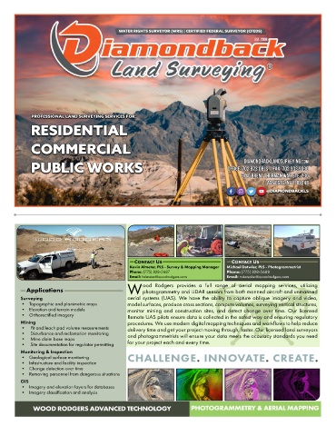
ContaCt Us                         ContaCt Us
                                                Kevin Almeter, PLS - Survey & Mapping Manager  Michael Detwler, PLS - Photogrammetrist
                                                Phone: (775) 828-5687               Phone: (775) 828-5688
                                                Email: kalmeter@woodrodgers.com     Email: mdetwiler@woodrodgers.com
                                                     ood  Rodgers  provides  a  full  range  of  aerial  mapping  services,  utilizing
           Applications                        W photogrammetry and LiDAR sensors from both manned aircraft and unmanned
         Surveying                             aerial  systems  (UAS).  We  have  the  ability  to  capture  oblique  imagery  and  video,
         •   Topographic and planimetric maps  model surfaces, produce cross sections, compute volumes, surveying vertical structures,
         •   Elevation and terrain models      monitor  mining  and  construction  sites,  and  detect  change  over  time.  Our  licensed
         •   Orthorectified imagery            Remote UAS pilots ensure data is collected in the safest way and ensuring regulatory
         Mining                                procedures. We use modern digital mapping techniques and workflows to help reduce
         •    Pit and leach pad volume measurements  delivery time and get your project moving through, faster. Our licensed land surveyors
         •    Disturbance and reclamation monitoring  and photogrammetrists will ensure your data meets the accuracy standards you need
         •    Mine claim base maps             for your project each and every time.
         •    Site documentation for regulator permitting
         Monitoring & Inspection
         •   Geological surface monitoring     CHALLENGE. INNOVATE. CREATE.
         •   Infastructure and facility inspection
         •   Change detection over time
         •   Removing personnel from dangerous situations
         GIS
         •   Imagery and elevation layers for databases
         •   Imagery classification and analysis


             WOOD RODGERS ADVANCED TECHNOLOGY                          PHOTOGRAMMETRY & AERIAL MAPPING